
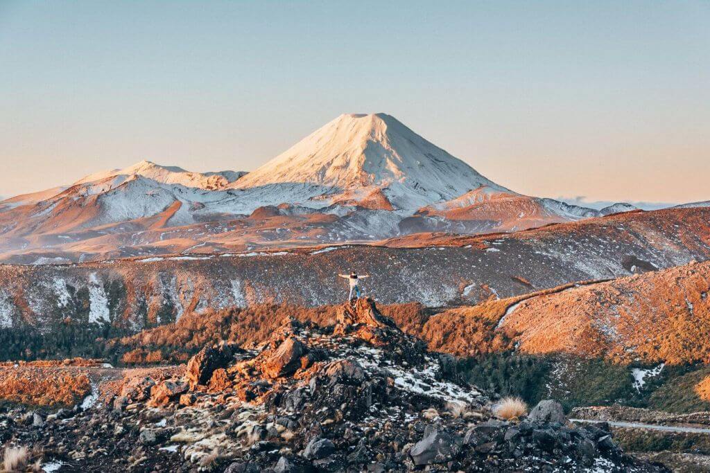
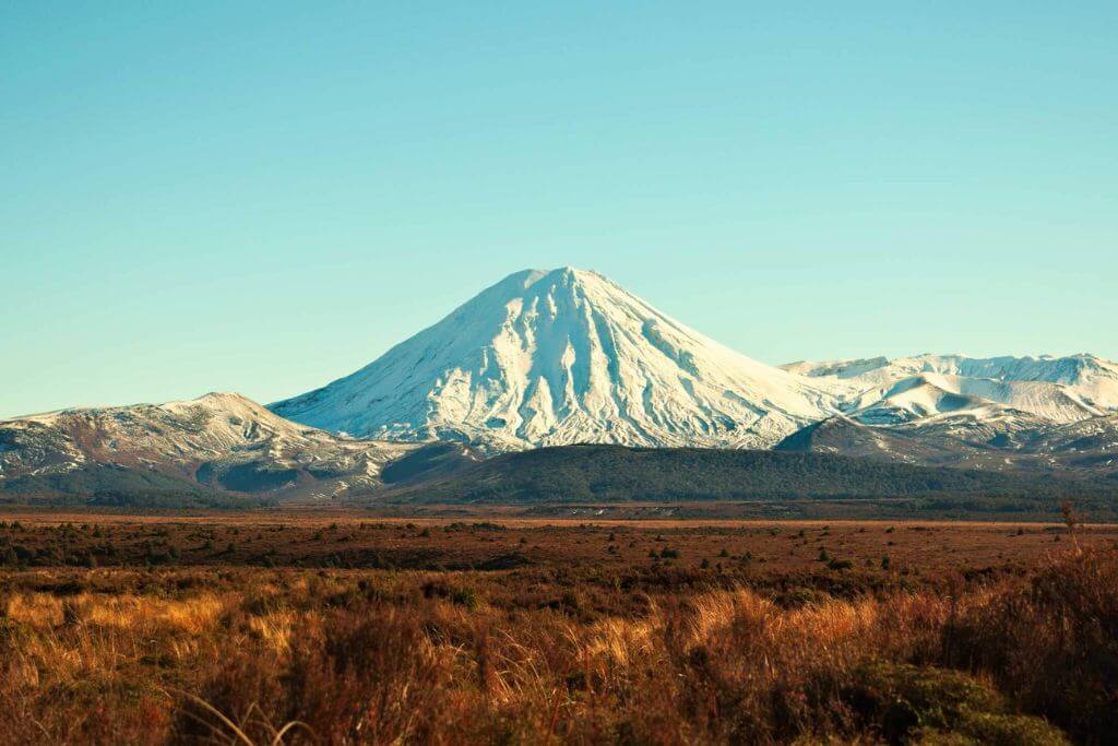
Fans of the Lord of the Rings will recognize Mount Ngauruhoe in NZ as the powerful volcanic force that created Mt Doom. In reality, mountain climbers from New Zealand who are daring enough to do so are drawn to the Tongariro National Park because of its spectacular peak. However, the hike to Mount Ngauruhoe is not one for Hobbits with weak wills.
1. Mount Ngauruhoe: The volcano not easy to conquer in New Zealand
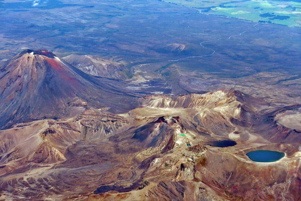
Mount Ngauruhoe, which is only 2,500 years old, is particularly stunning due to its nearly completely symmetrical single vent cone, which contrasts with its much older neighbors’ broken multi-peaked aspects.
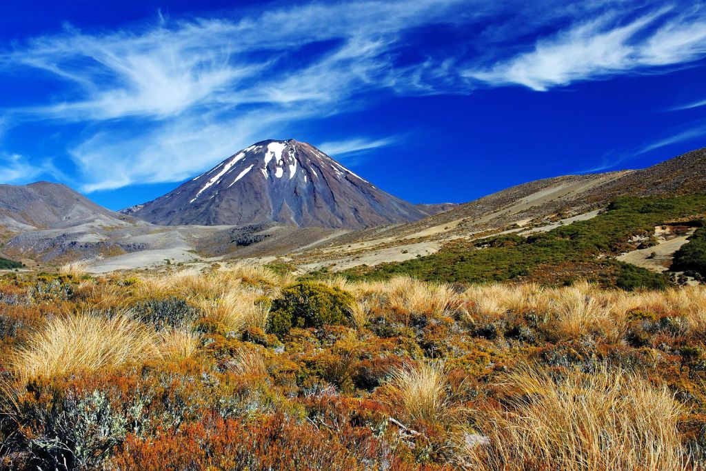
Tongariro National Park, established in 1887, is home to these and numerous other smaller summits. It is also a deserving World Heritage Site.
Mount Ngauruhoe, which is categorized as a stratovolcano, is primarily made of andesite. With 45 eruptions in the 20th century, the peak is commonly recognized as New Zealand’s most active volcano. Its most recent eruption occurred in 1977.
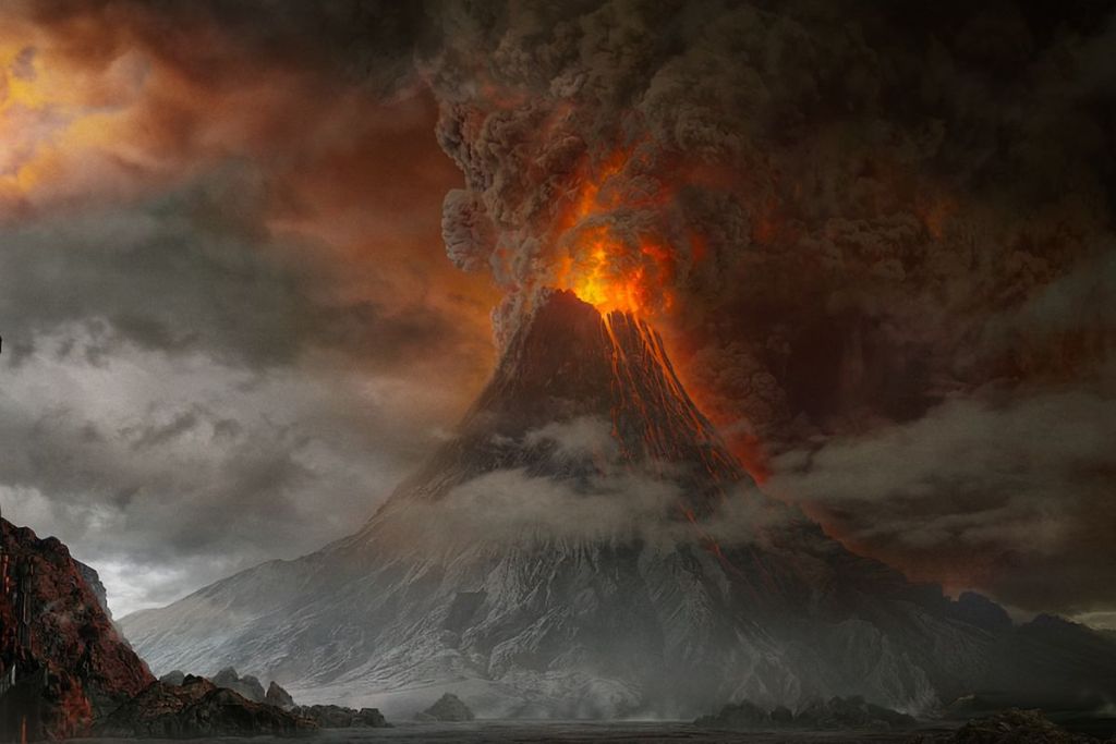
2. Mount Ngauruhoe in the media
In Peter Jackson’s The Lord of the Rings film trilogy, Mount Ngauruhoe served as a stand-in for the fictitious Mt Doom, bringing it to the attention of people all around the world.
In 1974, Moet & Chandon filmed Jean-Claude Killy skiing down the mountain’s eastern side. The slope on this side of the volcano is 35 degrees, but radar caught Killy skiing at almost 100 mph. After plummeting, he descended twice. He employed helicopters to reach the mountain’s summit after the day before’s explosion and the last run’s eruption.
3. Why is climbing or hiking to Mount Ngauruhoe dangerous?
Mount Ngauruhoe, which is 2,287 meters high, presents all the normal dangers to ambitious climbers. There is a lot of loose rock. The weather can change quickly and violently. There is steep snow and ice in the winter and early season, etc.
A climber may be unexpectedly engulfed by toxic gases from the crater’s fumaroles at any time if the wind is blowing in the wrong direction. Be mindful of all such dangers.
4. How to hike to Mount Ngauruhoe?
A well-marked and benched track ascends the valley to the east, next to the Mangatepopo Stream, from the parking lot. Where the track traverses some swamp areas, a boardwalk is visible.
The track begins its ascent to the saddle after crossing the exit for Soda Springs. The DoC recently spent what must have been millions on a benched gravel route and some very swanky staircases that go almost all the way to the Mangatepopo Saddle. This part used to be a bit of a chore on the loose, fractured rock.
Follow a poled path directly south, crossing an initially easy rise, starting from the Mangatepopo Saddle. From the saddle to the crater’s rim of Mount Ngauruhoe, it takes roughly two hours and 600 vertical meters of ascent.
The rock rib runs out 150 vertical meters below the peak, and you enter the “red band.” Although rather sloppy, this is not too horrible. The final traces of solid ground vanish about 50–60 vertical meters below the rim, and from there, it is only loose cinders all the way to the top.
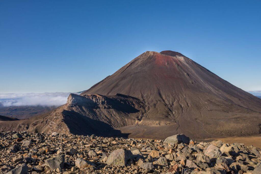
5. On the top
You can tell that Mount Ngauruhoe isn’t quite the perfect cone you saw on the approach while you’re standing on the crater rim. Those of you who are purists should go there. A pole marks the highest point on the rim, which is otherwise about 100 meters southeast of where you arrived before turning south around the crater’s edge.
Reverse the aforementioned route to return to the parking lot or continue around the Northern Circuit, etc., to descend. As you approach the red band’s lower limit and the start of the rock rib, carefully navigate your way through it before cutting across to the descender’s right. Friendly deep sand to the right of the rib provides a lovely descent up to the first gentle slopes above the saddle.
With breaks and an hour on the peak, the trip from the cars takes about an hour to get back to the saddle. You’ll be grateful you had the gaiters because the descent is quick and comfortable, thanks to all the sand you avoided on the way up.
6. Best advice for you
- Regardless matter when you travel, pack for all weather conditions. Check out the guides on what to pack for the Tongariro Alpine Crossing and what you absolutely must have with you on your trip.
- It’s also important to pay attention to local weather forecasts and warnings because the park may seal off some regions if they become too hazardous to travel through.
- You might wish to look into any Geonet advisories for the area, as Mount Ngauruhoe is an active volcano.