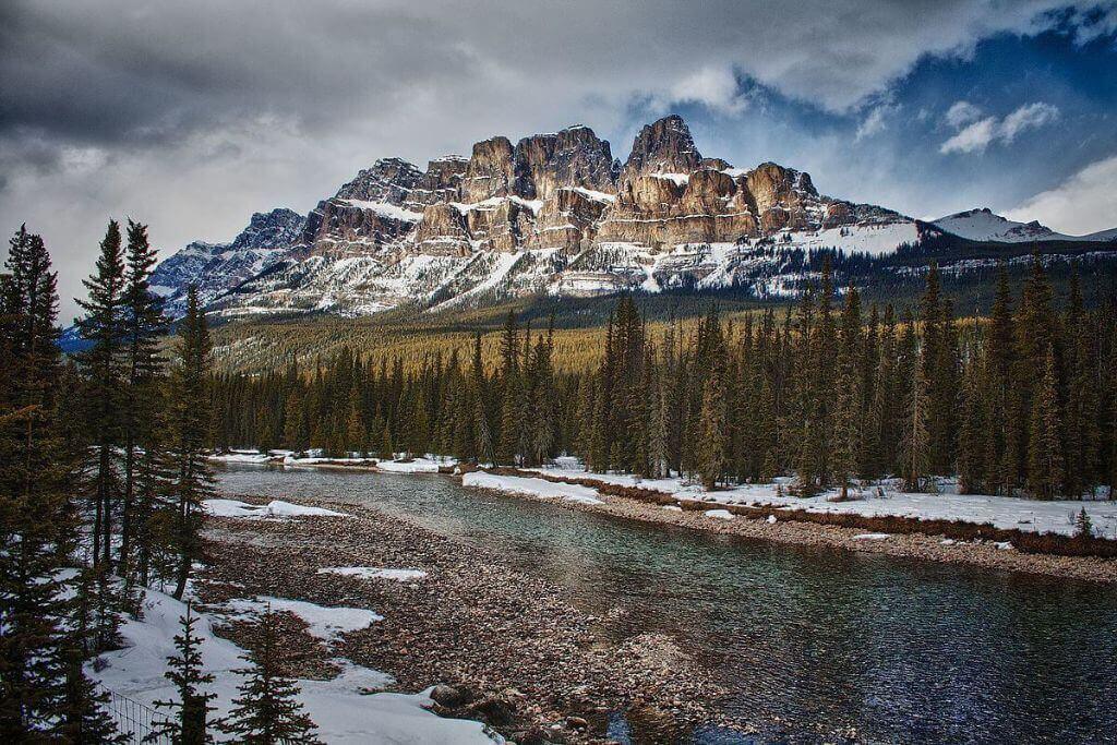
Castle Mountain lookout is one of the best views in the Canadian Rockies. If you are planning to come here, do not skip this article because it is really useful for your upcoming trip. So, here are the directions for hiking to the Castle Mountain lookout trail.
1. Castle Mountain: One of the most photographed places in the Canadian Rockies
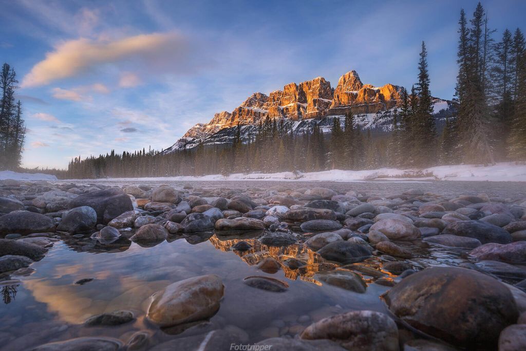
Castle Mountain is significant because it is the easternmost mountain in the Main Ranges in the Bow Valley of the Canadian Rockies. It was also the first mountain to be scaled in 1884 by Arthur Coleman. As a “castellate” mountain, it has flat or slightly sloping terraces that have been sculpted by glacial and other types of erosion alternating with very vertical cliffs. It is located between Banff and Lake Louise, east of the Trans-Canada Highway.
One of the most photographed structures in the valley and a favorite among local painters is also the castle. Additionally, the Eisenhower Tower, the simplest of four alpine rock routes, is usually used to ascend it. Through the lovely Rockbound Lake approach, it can be skied in the winter or scrambled in the summer as well.
Read more 13 Fantastic Things To Do In Banff In Winter
2. The trail to Castle Mountain Lookout
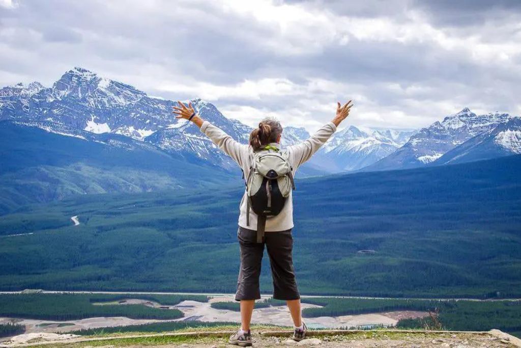
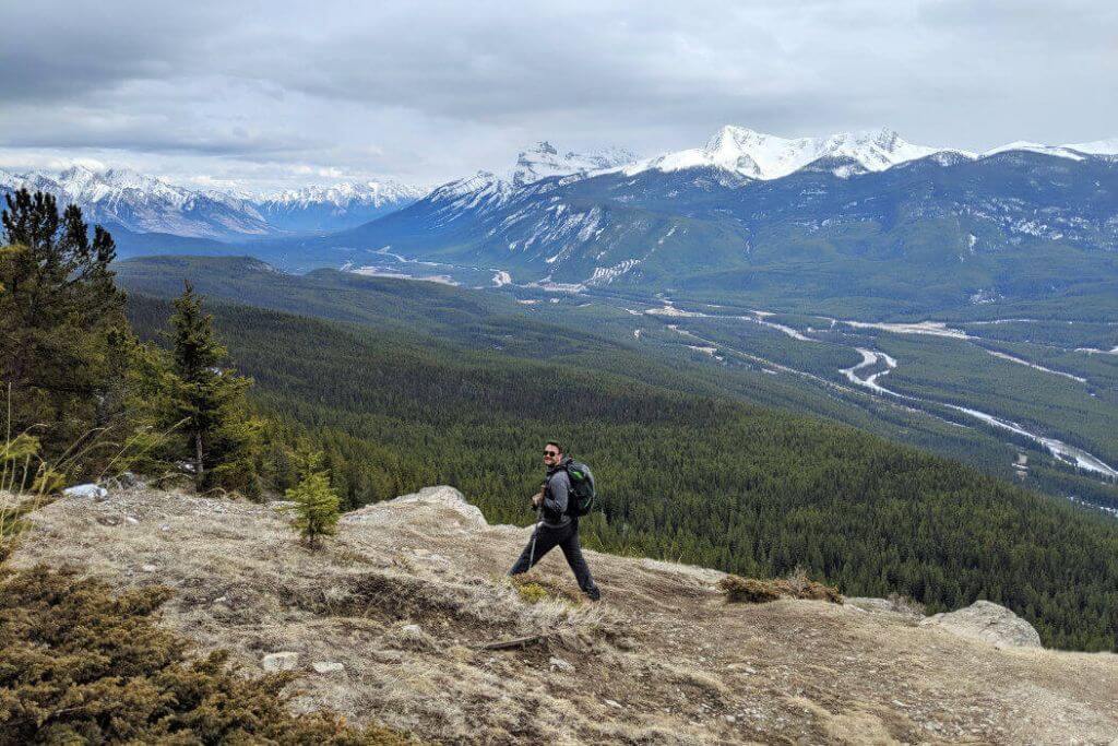
One of the best walks with panoramic views is the Castle Mountain Lookout hike in Banff National Park, and it ought to be on everyone’s list. Your views of the Rocky Mountains improve steadily as you ascend Castle Mountain’s lower slopes toward the overlook.
When you reach the Castle Mountain Lookout point, you’ll be treated to a panoramic view of the Bow Valley in addition to an up-close glimpse of the enormous rock slabs that give Castle Mountain its allure. The Three Sisters in Canmore, located 60 kilometers away, as well as all of the surrounding Rocky Mountains, are visible from the Castle Lookout.
Some of the greatest views in Banff National Park may be found on the Castle Mountain Lookout trek, which is comparable to the Alymer Lookout hike.
Don’t miss Helpful Tips For Camping In Banff National Park 2022
3. How far does the hike to Castle Mountain Lookout go?
The Castle Mountain Lookout path is 7.4 kilometers long in total (one-way distance of 3.7 km).
4. How Difficult Is the Castle Lookout Trail?
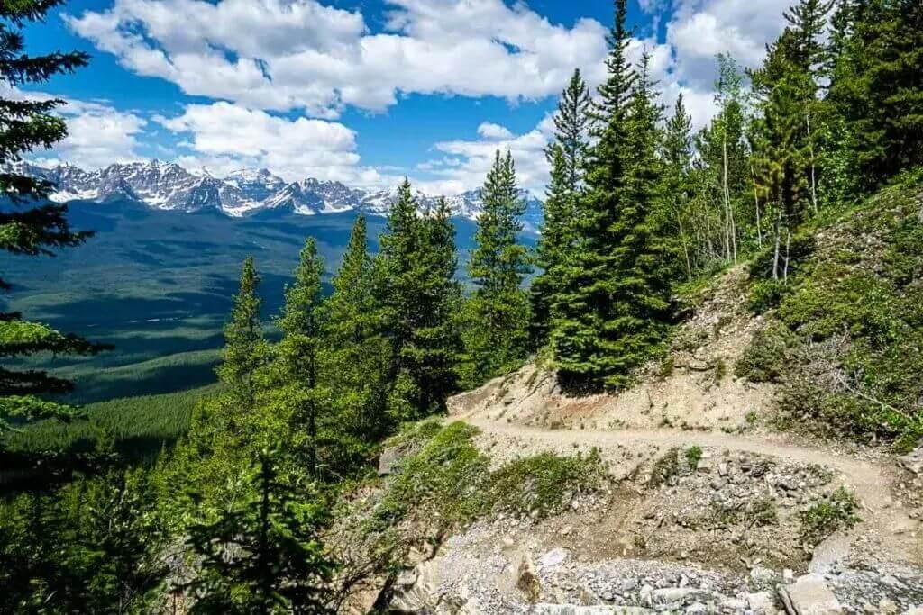
We classify the Castle Mountain Lookout trek as “moderate” due to its length and incline. You’ll gain 567 m in elevation overall by hiking the Castle Mountain Lookout path.
Although there are multiple elevation sections on the Castle Mountain Lookout trek that will make your heart race, there are so many breathtaking views that you’ll find yourself pausing to take them all in. There are no challenging technical sections on the hiking trail, making it simple to follow.
The additional benefit is that it is all downhill to the parking lot once you get to the overlook.
Do you know Banff Christmas Market 2022: Don’t Miss One Of Canada’s Best Christmas Markets!
5. How Long Is the Castle Mountain Lookout Hike?
A regular adult should be able to trek the entire roundtrip distance of the Castle Mountain Lookout in 3–4 hours. Even with photo breaks and lunch at the top, we’ve completed it in as low as 2 hours and 20 minutes.
6. Things you need to keep in mind when Castle Mountain Lookout hiking
Along this trip to Castle Mountain, there aren’t many hiking dangers. Up to the overlook, the trail is well-maintained and simple to follow. Just be careful on the lookout because there is a big drop-off, and keep kids far away from the edge.
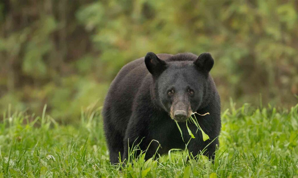
Black bears and grizzly bears can be seen at Banff National Park, which is a prime bear habitat. Please spend some time learning about bear safety in Banff National Park, which should involve carrying bear spray, going on hikes with others, and making plenty of noise as you ascend.
The Banff National Park is also home to cougars. Find out more about Banff National Park’s Cougar Safety. Although the likelihood of a deadly wildlife encounter in Banff is quite minimal, it never hurts to be ready just in case.
Before you set out, it is advisable to check the Castle Mountain Lookout trail report for information on trail conditions, wildlife advisories, and potential closures.
Post for you Expert Tips and Places to Spot Banff Animals Wildlife
7. How to get there
Drive 31 kilometers (19 miles for any visitor coming from Sacramento) west of Banff to Castle Junction using the Trans-Canada Highway or the Bow Valley Parkway (more Elk to be spotted along the Parkway). Take the Castle Junction exit off of the Trans-Canada Highway, travel under a bridge to the east (an Osprey has a large nest on the bridge where it raises young every year I’ve lived here), turn right at the stop sign, and then drive into the Rockbound Lake trailhead on your left. The Rockbound Lake trailhead is accessible from Bow Valley Parkway and is located just before the Castle Junction petrol station. To find the varied approaches, go to the route section.
8. The best time to climb
The three outdoor enthusiasts’ holy books for the Canadian Rockies, “Scrambles in the Canadian Rockies,” “Selected Alpine Climbs in the Canadian Rockies,” and “Summits and Icefields- Canadian Rockies Alpine Ski Tours,” all include Castle Mountain (have added all these books to the book link on this page). Choose your poison, as Castle is contestable at any time of year. If you so choose, you can put on crampons and attempt the rock routes throughout the winter.
