
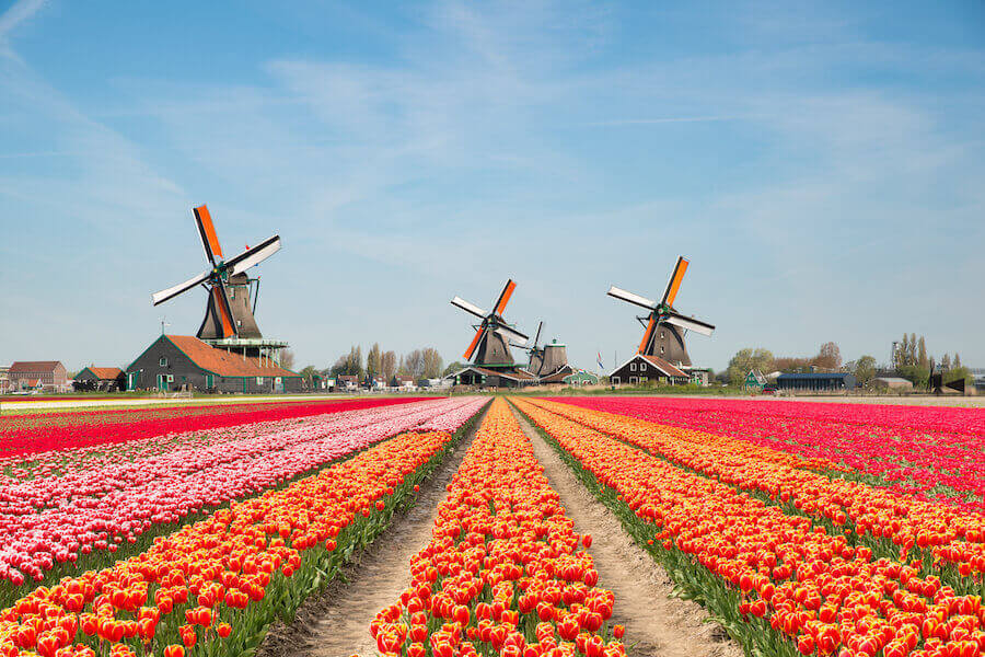
The name “Netherlands” is derived from the Dutch for “lower lands,” and this is correct: 26% of the small European country is below sea level. So, how do the Dutch protect their wooden shoes from rotting? The only thing stopping the North Sea from its city and field borders is an intricate system of dikes, dunes, and pumps. The Kingdom of the Netherlands has redesigned its national map on a large scale over the past thousands of years.
Holland was constructed one polder at a time.
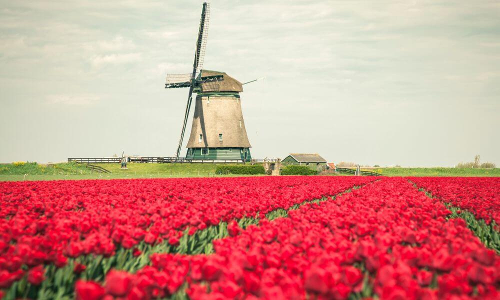
In the year 1200, about 3,000 square miles of what is now rich Dutch farmland was underwater. Rotterdam was a flooded river delta, whereas Amsterdam was a peat bog. However, the nation’s engineers became experts at draining wetlands by constructing polders, which are tracts of land bordered by dikes that are then drained or pumped dry. “God created the earth, but the Dutch created the Netherlands,” as the adage goes.
Here are How Did The Dutch Beat The Ocean?
‘Old Zealand’ is considerably younger than New Zealand – Dutch Borders
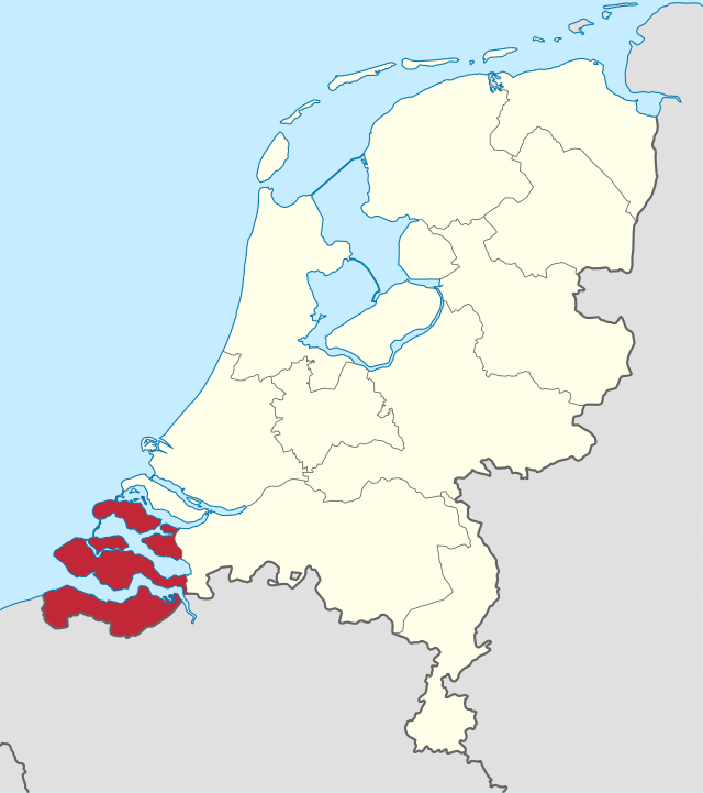
The Netherlands has altered shape more than any other country over the centuries. Zeeland, the country’s westernmost province, was known as “sea land” before the dikes were built since it was mostly submerged in the North Sea. The flag of Zeeland depicts a lion emerging from the waters, with the phrase “I struggle and emerge.” Flevoland, in the Netherlands’ central region, is the world’s largest artificial island, having been part of the Zuiderzee, an inland sea, until the mid-20th century.
Don’t forget 7 Great Dutch Inventions You Didn’t Think Of In The Netherlands
Giant flowers may one day protect the kingdom.
The Netherlands is one of the most densely populated countries in Europe, with over 1000 people living on every square mile. And, with the Dutch population still growing while sea levels rise, land reclamation is a continuing worry. A government commission advised in 2008 that the coastline be protected with a series of man-made islands styled like huge tulips. Cannabis leaves, several online commentators suggested, might be more suitable.
Do you know How Did The Dutch Get Their Bike Infrastructure?
Doggerland had its moment Dutch Borders
In theory, the Dutch could keep reclaiming territory from the sea, albeit at a much higher cost in terms of energy and money, until they had a land border with the United Kingdom again. Wait, what? That’s correct. Lower sea levels after the last Ice Age transformed Britain into a European peninsula, connected to the Netherlands via an area known today as “Doggerland.” Doggerland was finally flooded for good around 6200 B.C., roughly 8,000 years ago—the first “Brexit.”


